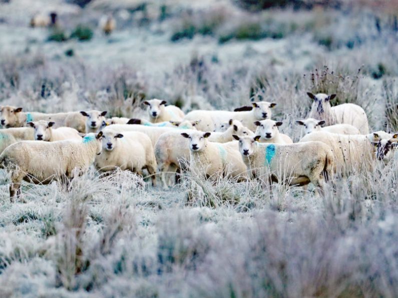

Temperatures are set to drop this weekend as Met Éireann predicts a very cold snap next week with potential hail, sleet and snow showers.
The national forecaster said it will become noticeably colder from Wednesday onwards with a northerly airflow and with showers possibly turning more wintry at times.
This weekend average daytime temperatures will drop to as low as 5 degrees Celsius, with mostly dry conditions forecast for the coming days.
Friday is due to be mainly dry with a mix of cloudy periods and sunny spells. A few light showers may develop along east and south coasts with highest temperatures of 8-11 degrees.
Today will be mainly dry with hazy sunny spells developing through the morning ⛅️
A few light showers may develop along east and south coasts 🌦️
🌡️Highs of 8 to 11°C.
See more 👇https://t.co/9gKN6SDMVu pic.twitter.com/mx0BsGKhfy
— Met Éireann (@MetEireann) December 2, 2022
Friday night will be mostly dry with clear spells and some patches of mist or fog developing. Lowest temperatures will be between zero and 5 degrees.
Some bright spells will develop during Saturday morning, but becoming mostly cloudy with some drizzle or light showers possible through the afternoon and evening. Highest temperatures will be between 6 and 9 degrees.
Sunday will be a cold, breezy day with periods of sunshine, variable amounts of cloud cover around and a chance of a few showers, mostly in the east.
Showers will continue overnight, with the longest clear spells in the west. It will be a cold night with a touch of frost and lowest temperatures between zero and 4 degrees.
Monday will be mostly cloudy with further showers and possibly longer spells of rain in the east and south. The best of any bright or sunny spells will be in the west with highs of 5 and 8 degrees, Met Éireann said.