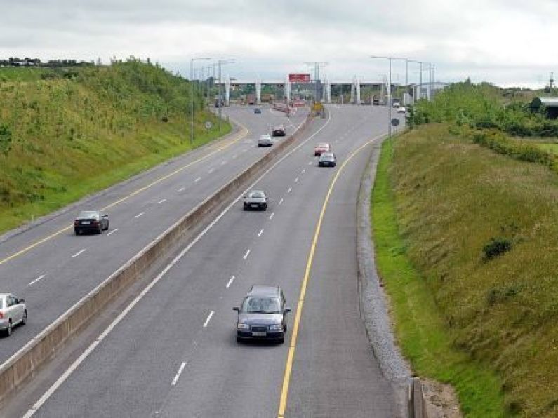

A section of the N59 in Galway has been labelled the most dangerous road in Ireland, according to new data.
Research carried out by Gamma Location Intelligence has revealed Ireland’s worst accident black spots.
It found that the roads with the highest collision rates are located in Galway, Wexford and Longford.
Gamma Location Intelligence provides location-based insights to insurance companies and local authorities.
They have mapped out Transport Infrastructure Ireland data that shows the worst accident black spots, based on collision rates.
Collision rates are determined by the number of road accidents (injury collisions) per 100 million vehicle kilometres. A vehicle kilometre is based on the number of vehicles using the road segment and its length.
The most dangerous stretch of road is in Galway, located just east of Kylemore Lough, from Cliften to near Leenaune along the N59.
The second is between Abbey Square Roundabout and Seamus Rafter Bridge in Enniscorthy.
Galway was also the county that appeared most frequently in the top 20 list with eight of the most dangerous road segments located there.
"Overall, according to the data provided by Transport Infrastructure Ireland, collision rates are decreasing across the country," said Richard Garry, Director of Location Intelligence for Gamma.

Richard Garry
"However, there are specific stretches of roads where the frequency of collisions is still high.
"Not only does this analysis show drivers where they need to take extra care; it is also useful for insurance companies as it identifies the areas which are worst for road accidents and enables them to better assess risk."
The top 20 worst accident blackspots in Ireland (with collision rates in brackets) are:
- Galway – N59, east of Kylemore Lough, from Cliften to near Leenaune, 3.7km west of junction with R344 (1131)
- Wexford – Between Abbey Square Roundabout and Seamus Rafter Bridge in Enniscorthy (588)
- Longford – Killashee Street, Ballymahon Street and New Street junction in Longford town (281)
- Galway – N59, 1.3km west of Letterfrack (259)
- Tipperary – N62, southeast of Roscrea, directly northeast of junction with R445 (251)
- Galway/Mayo – N59, crossing at Galway-Mayo border (249)
- Galway – N59, 1.8km west of Moyard (236)
- Clare – N67, 1.3km north of junction with R484 (235)
- Clare – N67, junction with R477 (220)
- Galway – N59, junction with R344 (217)
- Mayo – N59, south of Aasleagh, directly north of Galway border (216)
- Galway – N59, 1.1km northeast of Letterfrack (200)
- Clare – N67, directly south of junction with R482 (197)
- Cork – Washington Street to Merchant’s Quay (197)
- Galway – N59, 3km west of junction with R336 (195)
- Galway – N59, 1.5km north of Leenaun, directly south of Mayo border (191)
- Clare – N67, 2.9km north of junction with R484 (187)
- Waterford – N72, north of Tallowbridge, directly west of junction with
- R634 (184)
- Leitrim – N16, bridge over the Glenfarne River, 1.1km west of junction with R281 (184)
- Cork – N72, junction with R630, north of Fermoy (167).
A statement explained: "Gamma’s Perilfinder platform has an in-built Road Accident Model which collates data from the Road Safety Authority, Transport Infrastructure Ireland and the Central Statistics Office to analyse and present accident data to show where most collisions happen.
"The software also offers risk assessment insights for other perils such as flooding, fire and subsidence."
The data has also revealed the most dangerous major road segment in each county.
They are (collision rates in brackets):
- Carlow – N81, at the Yellowford Cross Roads, 3km north of Rathvilly (46)
- Cavan – N55, 1.5km south of Ballinagh (161)
- Clare – N67, 1.3km north of junction with R484 (235)
- Cork – Washington Street to Merchant’s Quay, junction with R258 (197)
- Donegal – N56, bridge over the Clady River, junction with R258 (125)
- Dublin – M50, Exit 5 (51)
- Galway – N59, east of Kylemore Lough, 3.7km west of junction with R344 (1131)
- Kerry – N23, junction with N22 (119)
- Kildare – Duke Street and Leinster Street junction in Athy (115)
- Kilkenny – N78, through Castlecomer (110)
- Laois – N78, directly north of junction with R431 (92)
- Leitrim – N16, bridge over the Glenfarne River, 1.1km west of junction with R281 (184)
- Limerick – N24, junction with Limerick South Ring Road (71)
- Longford – Killashee Street, Ballymahon Street and New Street junction in Longford town (281)
- Louth – N2, through Ardee, from junction with R170 to junction with N33 (73)
- Mayo – N59, south of Aasleagh, directly north of Galway border (216)
- Meath – N52, through Carlanstown (61)
- Monaghan – N54, through Clones, 1km from Northern Ireland border (97)
- Offaly – N62, north of Kennedy’s Cross Roads, 3km north of Birr (112)
- Roscommon – Bridge Street and Shop Street junction in Boyle (107)
- Sligo – Duck Street in Sligo town centre (164)
- Tipperary – N62, southeast of Roscrea, directly northeast of junction with R445 (251)
- Waterford – N72, north of Tallowbridge, directly west of junction with R634 (184)
- Westmeath – N52, halfway between Delvin and Mullingar, 4.8km southwest of Delvin (77)
- Wexford – Between Abbey Square Roundabout and Seamus Rafter Bridge in Enniscorthy (588)
- Wicklow – N81, south of Poulaphouca Bridge, 1.8km north of junction with R411, just east of Kildare border (76).