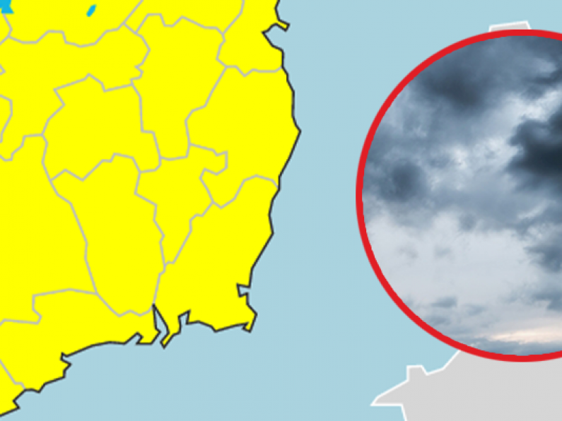

Met Éireann has issued a status yellow thunderstorm working for the majority of the island this Saturday.
The weather warning for all of Leinster, Munster and Connacht takes effect at midday today and runs until 9pm tonight.
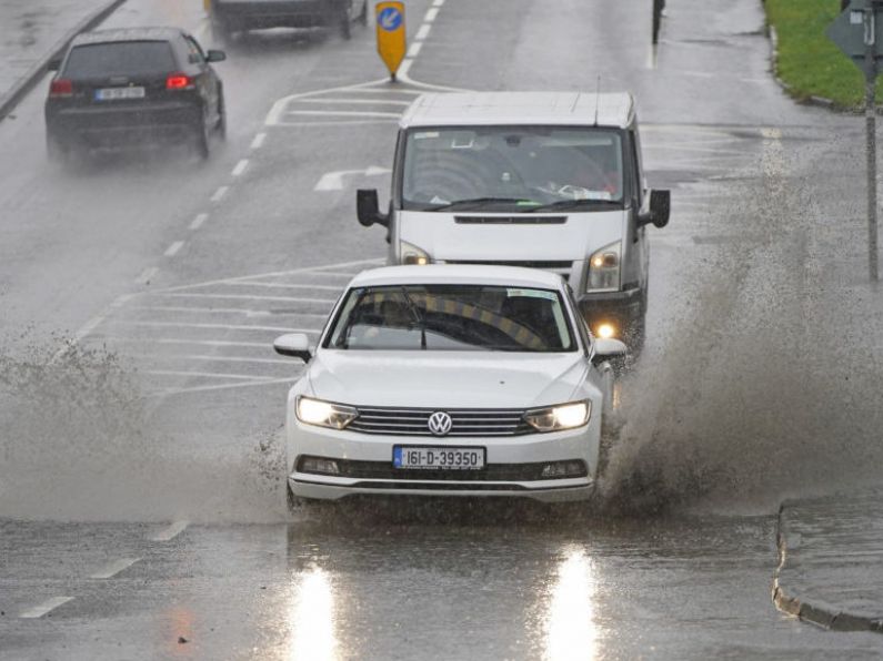
The forecaster said that scattered thunderstorms this afternoon and evening will bring some heavy downpours, with a risk of hail and localised spot flooding.
☁️Hourly rain & cloud forecast🌧️
Unsettled weather to continue for the next few days, with ☀️ & showers & a risk of ⛈️ for Saturday & Sunday.
View our national forecast & outlook here⬇️https://t.co/9gKN6SVok4 pic.twitter.com/xL19P0k26l
— Met Éireann (@MetEireann) May 15, 2021
While heavy showers will become widespread across the three provinces through the morning and afternoon, only cloud and light rain will linger over most of Ulster through the day.
Highest temperatures across the island will reach 11 to 15 degrees, according to the latest national forecast.
By early tonight, the showers will largely die out, with most areas becoming dry with clear spells and just isolated showers.
It will be cloudier for a time in the southwest with patchy light rain and drizzle.
Lowest temperatures are forecast to be between four to eight degrees, with mist and fog developing in a light variable breeze.
Sunday
On Sunday, mist and fog is forecast to clear early in the morning, leaving a largely dry start to the day with sunny spells and just isolated showers.
Showers will again become widespread through the morning and afternoon, turning heavy with the risk of thunderstorms and spot flooding.
Showers will gradually drift southwards in the evening, and the north and northwest will become mainly dry.
Highest temperatures of 12 to 15 degrees are forecast.