
By Steve Neville
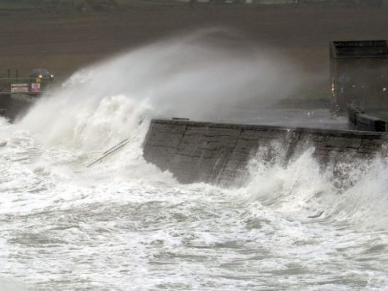
A status red wind warning is now in place for Clare and Galway as Storm Jorge hits Ireland.
The National Emergency Coordination Group are meeting today to discuss the storm's arrival.
Motorists are being advised to avoid travelling while the red warning is in place, while the Defence Forces remain on standby today as flooding continues to endanger homes.
Thousands of homes are likely to be without electricity with up to 145km/h winds expected.
ESB Networks said they are ready to mobilise responses to restore power once the impact of the storm is known.
The red warning is in place until 3pm today with "very severe winds" expected.
Met Éireann has said: "Westerly winds will reach mean speeds of 85 to 100km/h in places on Saturday afternoon with gusts of 130 to 145km/h, with an elevated risk of coastal flooding."
There is currently a status orange wind warning in place until 3am on Sunday for Galway, Mayo, Clare and Kerry. That warning will come into effect for Donegal, Leitrim and Sligo at midday.
The forecaster said winds "will reach mean speeds of 65 to 80km/h with gusts of 110 to 130km/h, possibly higher in very exposed areas with an elevated risk of coastal flooding."
Another orange wind warning has been issued for Leinster, Cavan, Monaghan, Roscommon, Cork, Limerick, Tipperary and Waterford.
That warning comes into effect at 1pm and will remain until 7pm this evening.
Winds are expected to reach "mean speeds of 65 to 80km/h for a time on Saturday afternoon and early evening with gusts of 110 to 120km/h".
There is a risk of coastal flooding "due to already saturated ground and elevated river levels" in Munster, Connacht and Donegal.
A status yellow rainfall warning is in place in those counties with "rainfall accumulations generally between 20 to 30mm expected during Friday and Saturday."
That warning will remain in effect until 11.59pm.
A status yellow snow and ice warning is also in place for the entire country.
That warning is in place until 4pm today.
Met Éireann said "wintry showers of hail, sleet and snow spreading eastwards this morning will lead to icy conditions"
That said that late in the morning, "a more persistent band of rain and sleet will cross the country, turning to snow for a time, particular over the Midlands and north of the country, and over high ground elsewhere.
"The combination of sleet/snow and strong winds will lead to low visibility and hazardous driving conditions."
AA Roadwatch is urging motorists to be careful with the warnings in place.
With the snow and ice warning in place for the entire country, they are reminding drivers that "it takes up to ten times longer to stop a car in snow or ice, so slow down and leave yourself extra space."
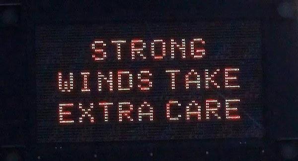
Due to the status red wind warning in place for Galway and Clare, the AA is advising road users to avoid travelling during the times of the warning.
They called on motorists to "take extreme caution on the roads, as wind-blown debris and coastal flooding are likely.
"Give extra space to vulnerable road users such as pedestrians and cyclists, and bear in mind that high-sided vehicles are also particularly likely to be blown off-course."
For the parts of the country set to be hit by rainfall warnings, AA Roadwatch said: "Remember it takes longer to stop on wet roads, so slow down and leave yourself more room to brake.
"This will add to the risk of flooding after a very wet month.
"Never drive through standing water unless you’re sure it’s not too deep for your vehicle."