
By Jonathan McCambridge & Kevin Galvin
The South-East forecaster is expecting Thunderstorms to hit the country, as the current heatwave continues across Ireland.
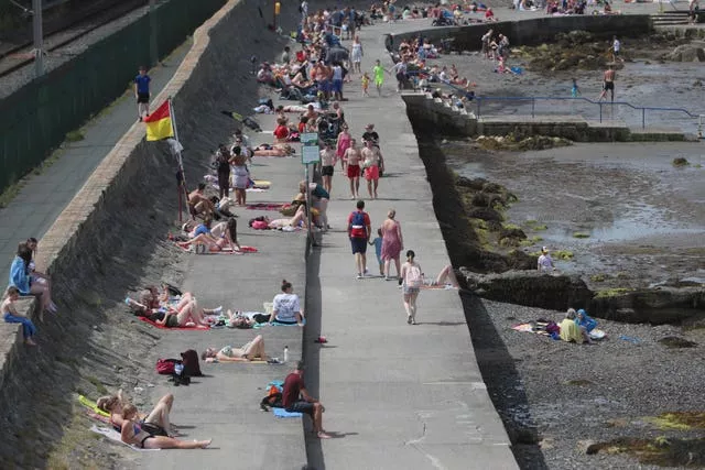
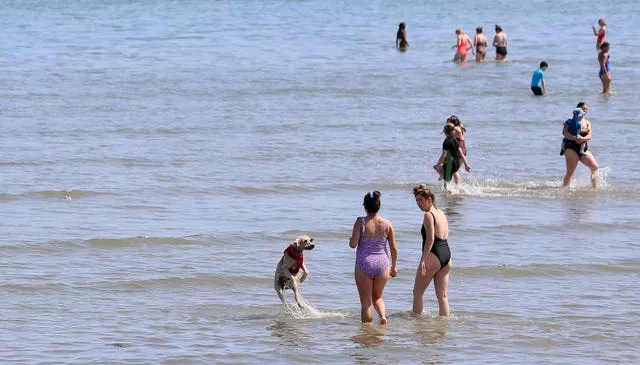
A yellow high temperature warning has been extended until Saturday as Ireland continues to bask in a July heatwave.
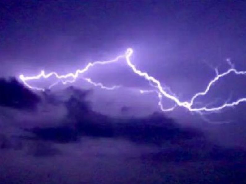
However, some areas across the country could see some spot flooding, as thunderstorms bring torrential downpours and a rapid drop in temperatures.
For the second consecutive day, the temperature soared above 30 degrees, with the highest temperature in the Republic on Thursday recorded at 30 degress at Mount Dillon in Co Roscommon.
A statement said: “Met Eireann has extended the nationwide Yellow High Temperature warning until Saturday morning, with an Orange High Temperature warning for several inland counties remaining in place until Friday.”
Met Eireann also said that Wednesday night was provisionally the first tropical night in Ireland for 20 years, with Valentia in Co Kerry not observing any temperature under 20.5C.
Tropical nights, meaning shaded air remains above 20C all night, are rare in Ireland, having previously only been recorded six times.
Meanwhile Alan O'Reilly from Carlow Weather says there could be some thunderstorms later.
"Continuing very warm, a little bit less warm in some eastern areas where there will be an increased breeze.
"However there is a risk of Thunderstorms kicking off this afternoon.
"They will develop into the south of the country, into the midlands, and then move west.
"And where those thunderstorms hit they'll bring some heavy downpours and obviously a quick drop in temperatures.
"So there is risk of some spot flooding from thunderstorms today."
Met Eireann said the high temperatures have been caused by the jet stream migrating northwards to the far north of Ireland.
This allowed the “Azores High” – a near permanent area of high pressure usually positioned in the sub-tropical Atlantic near the Azores Islands – to build north and steer warm, dry and settled conditions over Ireland.
This weather pattern has brought warm air up from the south with it, and that, together with plenty of strong summer sunshine has allowed temperatures to build, with temperatures exceeding 30 degrees in some parts of Ireland this week.
Irish Water is continuing to urge the public to conserve water to ensure a consistent supply for all.
Staying dry with plenty of warm sunshine this evening ☀️
Another warm & humid night ahead with temperatures staying above 16 to 18°C for most areas ⚠️🌡️ #heatwave
Struggling with the heat? 👀👉🏽 https://t.co/Gy5vxIhc6y @HSELive pic.twitter.com/gROXYvd1jy
— Met Éireann (@MetEireann) July 22, 2021
In a statement, it said: “Irish Water, together with our local authority partners are working hard to maintain supplies.
“The current extra demand, combined with reduced capacity, is not sustainable.
“We are appealing to everyone to be mindful of this and reduce water consumption as much as possible.”
But it added that “with the continuation of the Covid-19 pandemic, the public are reminded to adhere to public health and HSE advice, and handwashing and hygiene remain critically important”.