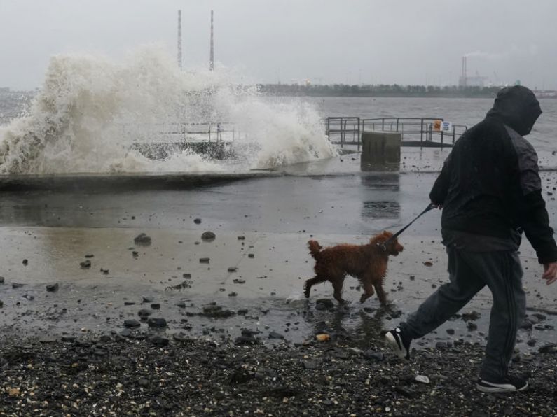

The unsettled conditions are set to continue with some areas to get four times the usual amount of rain over the next week.
Met Éireann said there will be a lot of rain - but it is expected to fall mainly at night.
However, farmers have been wanting more support to help the tillage sector as they say they can't plant crops due to the conditions.
Alan O'Reilly from Carlow Weather said there is the potential for severe weather over the weekend.
Mr O'Reilly told Newstalk: "Weather models are showing a low-pressure system is expected to track up from the south of Ireland, Friday into Saturday, the exact details of the track remain uncertain, but weather models show them developing into quite a nasty storm."
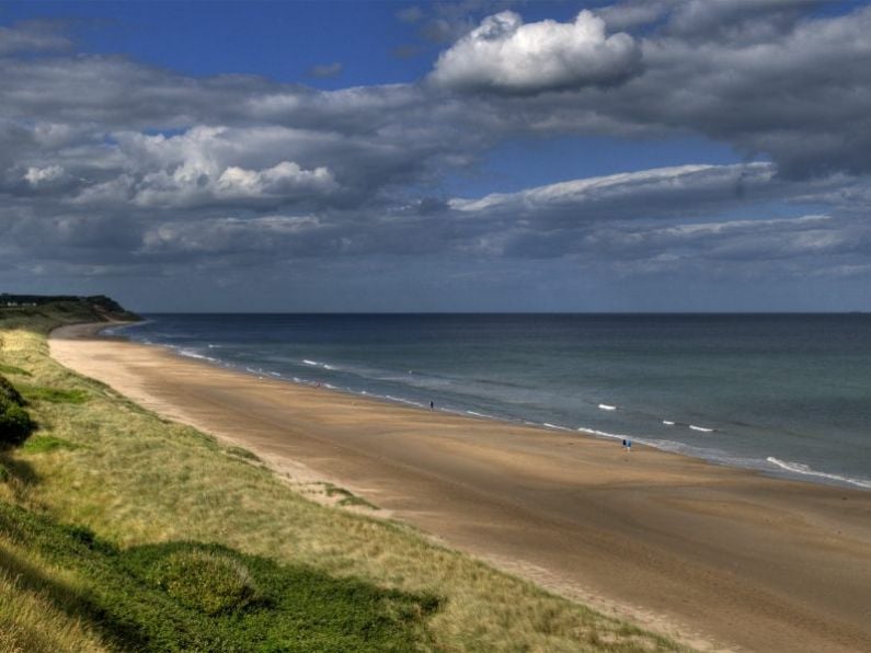
Meanwhile, two weather stations had rain on 29 out of the 31 days in March. Figures from Met Éireann show rainfall was above average in many weather stations around the country last month.
The data shows a station in Donegal had twice the normal amount of rainfall for the month.
Paul Moore, a climatologist with Met Eireann, outlined why the increased rainfall may be happening.
"The record high temperatures in the Atlantic and across all the oceans, to climate change in the South Pacific, to El Nino as well.
"The North Atlantic temperature has b been quite exceptional for the last year and there's been a lot of research into that, but climate change is definitely a factor."
Reporting by James Cox
Keep up to date with all the latest news on our website Beat102103.com.